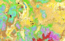
Vegetation mapping

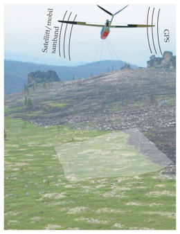
UAV equipped with a hyper spectral imager detecting burn scars from a forest fire
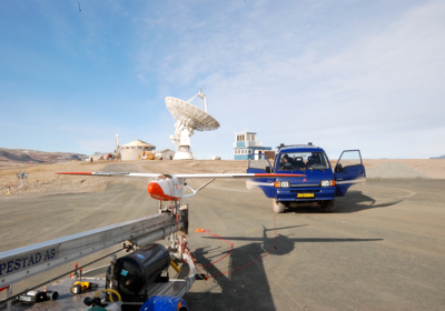
High resolution hyper spectral measurements allow classification of vegetation and can be used to study the effect of grazing and climate change. The hyper spectral imager currently used in CryoWing is designed and built by Professor Fred Sigernes at UNIS. To optimize the imager for use also in vegetation studies, we are planning to extend the spectral range into the near-infrared.
- Vegetation mapping
- Mapping of grazing pressure
- Detect vegetation changes connected with grazing
For more information:
Please contact us on e-mail: uav@norut.no