Satellite validation

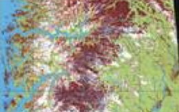
Snow covered area map based on the ASAR instrument onboard Envisat, which is owned and operated by ESA
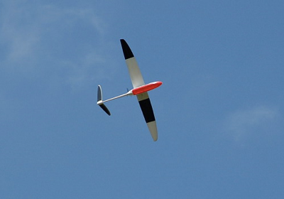
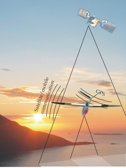
A UAS is particularly well suited for doing cost efficient testing of new satellite measurement principles and development of new retrieval algorithms prior to launch. For mini-satellites the entire payload could be mounted and flown. Long range long endurance flights could gather extensive test and validation data sets for both optical and radar based sensors. In addition in-situ measurements can be performed when it comes to atmospheric measurements.
- Proof of concept testing of new satellite instrumentation
-
-Validation of satellite products
For more information:
Please contact us on e-mail: uav@norut.no