Environmental monitoring

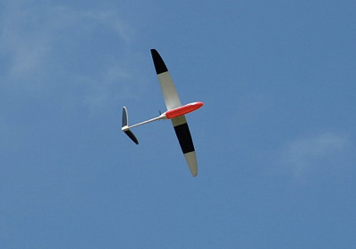
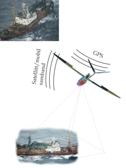
A UAS equipped with a digital camera can be sent to investigate and document activity based on coastal radar, satellite or transponder positions. Images could be sent back by satellite phone.
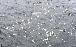
Real time information is critical in connection with oil spills, floods, algae blooms, and search and rescue operations. Combined with satellite data the UAS can be used to follow up on problems detected by satellite but where it is critical with a more continuous or detailed information flow. With a UAS one can select coverage and fly under clouds that might obscure satellite measurements
- Less expensive than use of helicopter or airplanes
- Better endurance than most manned airplanes
- Instrumented to send data back to base near real time
For more information:
Please contact us on e-mail: uav@norut.no